
Storm Goretti – Tomorrow night/early Friday: 8/9.1.26
7 January 2026
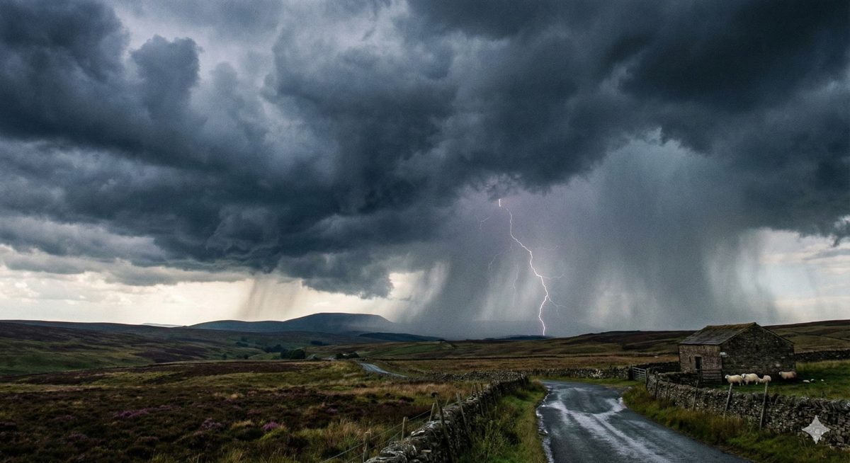
Thankfully this soon-to-be disruptive weather system is taking a sufficiently southerly track as to exert a relatively limited influence on the Northwest overall with the focus for any disruption confined to the Pennine areas, more especially the southernmost Pennines adjoining the Peak District.
Later tomorrow rain from the outer precipitation bands of Goretti will edge northwards into Cheshire, Merseyside and parts of Greater Manchester. Tomorrow evening this will turn fairly readily to sleet/snow at modest altitude and possibly down to low levels too during any heavier interludes.
Exactly how far north the precipitation from Goretti will reach is open to question but there is scope for some snow to get as far N as the E Cumbrian Pennines. However, the main threat of disruptive snowfall is across the southernmost Pennines and into the Peak District where levels of snow accumulation/travelling conditions could vary enormously over short distances and small degrees of elevation. With the centre of Goretti crossing well to the south the precipitation is being borne on an easterly airflow which almost always means that the main centres of population such as Manchester and Liverpool see little, if any, snow.
However, a short distance eastwards out of Manchester to the Derbyshire border and, similarly, from the lower lying parts of east Cheshire up towards the Derbyshire border could well involve a transition from wet/non-impactful to white/highly impactful as we have seen on many previous occasions. All the precipitation should gradually fade and clear away fairly early on Friday morning.